Where To Ride
Mountain Bike Trails
Trails at the Mark Arendz Provincial Ski Park
Entrance: Brookvale, 1800, Route 13
When the snow melts each spring, the Mark Arendz Ski Park transforms into a popular mountain biking hub. This biking mecca is home to 22 kms of single track trail and offers a variety of trail difficulty from 'easy' to 'extremely difficult'. These legendary trails are fast and worked-in with faithful usage. Primarily machine-built, a newer section is 10 kilometers and features a fast-rolling hard-pack freestyle loop called "Coastline" which is sure to keep your expectations (and your wheels) sky high. The park is also home to the Rigid Riders Mountain Bike Club.
West Trail Head MapEast Trail Head Map
Bonshaw Hills and Strathgartney Provincial
*Bonshaw Hills developed by Cycling PEI with provincial funding support.
Park Entrances:
17530 Trans Canada Highway, Bonshaw
98 MacKinnon Lane, off Riverdale Road
17025 Trans Canada Highway, Strathgartney
The Bonshaw Hills Provincial Park has 18 kms of ‘more difficult’ trails. At Strathgartney, you’ll find some of the newest and oldest trails in the province. A 2 km trial is connected to Bonshaw Provincial Park with some very challenging terrain. Download Trail Map
Cardigan River Trail
*Developed by Cycling PEI with provincial funding support.
Entrance: Behind the ball diamond at 4364 Chapel Road/Route 321.
This new year-round hiking and biking trail is a 12.4 km single-track with 3 km of double-track that is mainly flat. In winter, the single-track trails are used for fat biking and snowshoeing. Cross-country skiing can be done on the double-track area. The trail is mainly machine built with lots of flow and small berms; easy for hikers and challenging enough for mountain bikers. Enjoy lovely views of the Cardigan River and many mature white pines and red oak trees. View Trail Map
Gairloch Trail
*Developed by Cycling PEI with provincial funding support.
Entrance: Juncture of Gairloch Road (Rte 204) and Confederation Trail. Parking roadside.
This looped 7 km trail is located next to the Confederation Trail within the Points East Coastal Drive region. It is ranked as 'more difficult' running through hilly terrain with several bridged stream crossings. The steep ravine sides have switchbacks.
O’Leary Mountain Bike Trail
Entrances: 2 kilometers east of O’Leary off the Confederation Trail
Here, you will discover three trails - Monkey Tango, Hurricane Wave and Bench Ridge - varying from easy to very difficult. It is 2 kilometers in length.
Rotary Friendship Park, Summerside
Entrances: 599 MacEwen Rd, between Prince County Hospital and Walker Ave Colin Avenue and the Confederation Trail, east of Gillespie Dr
A network of 6.5 kms of tree-lined gravel and clay trails on 64 acres. All trails are suitable for cycling with two pit runs for mountain bikers.
Robinsons Island Trail System, Brackley Beach
*Developed by Cycling PEI with provincial funding support.
Entrance: 40 Robinson Island Rd, near end of Gulf Shore Way East at Brackley Beach (National Park entrance fee will apply depending on season)
A 5 km multi-use trail that is great for beginner to intermediate cyclists. Designed as a ‘stacked loop’, this family-friendly trail offers a shorter and longer option with 11 technical trail challenges located in spurs off the main trail. Test your skills on the ramps and teeter-totters or just skip these branches and stick to the main trail for a beautiful scenic cycling adventure.
Brudenell River Multi-Use Trails
*Developed by Cycling PEI with provincial funding support.
The Brudenell River Trails, located in Brudenell River Provincial Park (near Georgetown, PEI) with access from the park’s campground, consists of approx. 6.6km of improved surface multi-use trail that is suitable for for cycling and hiking. They are located on relatively flat terrain, friendly to novice mountain bikers and hikers, yet with more than enough variation and natural beauty to hold anyone’s interest (several of the trails boast views of the Brudenell River).
Source: https://www.cyclingpei.org/brudenell
East Royalty Acadian Forest
*Developed by Cycling PEI with provincial funding support.
A nice flat but technical trail system right in town so you don't have to drive out to the country to ride. Lots of twisty singletrack and very little elevation change. Rooty and technical, but fun and rewarding. Plus you're close to your favorite apres-ride watering hole.
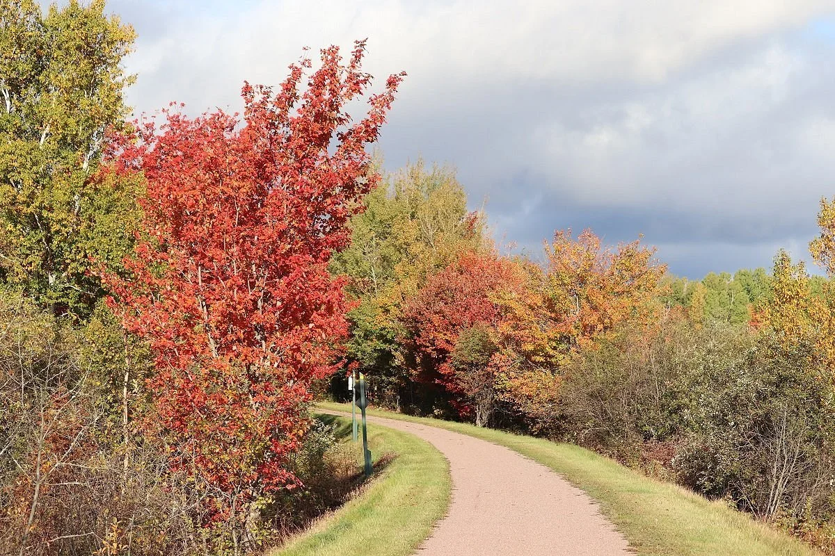
The Confederation Trail runs tip-to-tip across Prince Edward Island and is best explored on foot or bicycle. Built on the decommissioned railway line, the main trail is 273 kilometres from west to east - Tignish to Elmira. Branch trails run through small towns and communities including the heart of Charlottetown. The gradients along this rolled stone dust trail never exceed two per cent making it suitable for all fitness levels.
Source: https://www.tourismpei.com/what-to-do/outdoor-activities/confederation-trail
The Island Walk is a 700 km walking trail that loops around PEI. It takes approximately 32 days to complete if you walk 20-25 kilometres per day. However, not all walkers have to plan to walk 20-25 kms per day. There are many opportunities to complete the Island Walk in sections and spend more time exploring certain areas that appeal to you.
The trail will take you along the outer perimeter of the Island, with a mix of inland and coastal sections of the trail and will allow you to see both tips of the Island at North Cape and East Point. The trail intertwines through PEI’s two major cities, Charlottetown and Summerside, and also through many small communities throughout the Island. The trail describes a wide circle which allows walkers to end the walk where they started.
Source: https://theislandwalk.ca/come-back-different/about-the-island-walk/
Active Transport Trails
The Active Transportation Strategy was developed to lay out pathways to support Islanders in making active, cleaner and healthier transportation choices.
Through a variety of investments and outreach initiatives the AT Strategy will focus on:
Enhancing the safety of everyone who uses active forms of transportation through infrastructure improvements;
Improving active transportation route connectivity within and among communities and between key destinations across the province;
Strengthening partnerships with municipalities, Indigenous communities and non-government organizations (NGOs) around walking, cycling and any other forms of active transportation; and
Creating a promotion and education campaign to increase the confidence and competence of those wanting to commute actively
There are networks of Active Transportation Trails in Charlottetown, Summerside, Stratford, the Gulf Shore Parkway, Greenwich National Park, and more!
CAUTION- Many trails experienced significant damage in the fall of 2022 and not all have re-opened or have only partially re-opened. Please respect all signage and barriers on the trail system and do not go on closed trails or sections.
In partnership with the Government of PEI, Recreation PEI has created an interactive trail map with all publicly accessible trails and active transportation paths on Prince Edward Island.
This map is unique because it includes municipal, provincial, federal, other managed trails, and scenic heritage roads all into the same map so users can easily find what they are looking for without having to use multiple sites.
Most trails were mapped in the spring of 2021 using the latest in GNSS technology. The system was accurate to within 96cms in some cases! New trails are being added as they are completed.
This map was completed in partnership with Island Trails, Recreation PEI, the PEI Department of Health & Wellness- Sport, Recreation, and Physical Activity Division, Tourism PEI- PEI Provincial Parks, along with input from Cycling PEI, Parks Canada, and the Island Nature Trust.